Landscape Restoration Baselines for Dryland Recovery
Restoration work fails when planting begins before teams understand the condition of the land. A strong baseline shows what is degraded, what is still functioning, and where early effort will produce the most durable recovery.
Why baselines come before intervention
Across dryland landscapes, restoration often begins with urgency: hillsides are bare, gullies are expanding, and communities want to act. The source paper argues that this urgency should not skip the baseline stage.
A restoration baseline establishes the starting condition of soils, water flow, vegetation cover, erosion risk, and current land use. That evidence helps teams avoid planting in the wrong places, choosing unsuitable species, or investing in areas that need protection and water management before seedling delivery.
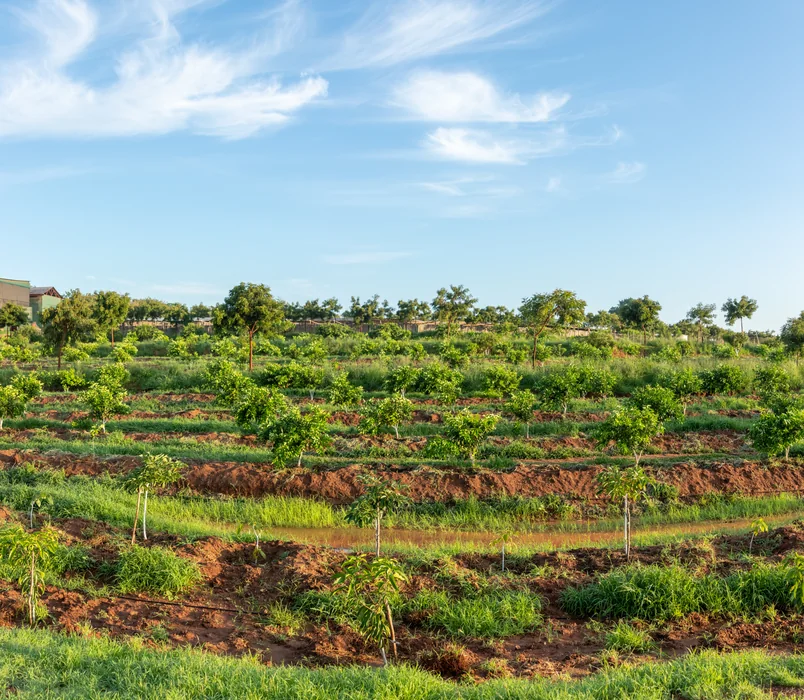
What teams should assess on the ground
The article emphasizes practical observation over abstract reporting. Teams should document land cover, slope behavior, runoff paths, grazing pressure, riverbank condition, existing tree species, and how different users interact with the site across seasons.
A useful baseline also combines community knowledge with technical assessment. Elders, farmers, herders, women, and youth often know where moisture lingers, where degradation began, and which interventions have already failed or succeeded.
How baselines improve project decisions
Once the starting condition is clear, restoration can be sequenced properly. Some areas may need erosion control, contour treatment, grazing agreements, or assisted natural regeneration before tree planting becomes viable.
The source paper frames the baseline as both a design tool and an accountability tool. It makes later progress measurable, helps communities understand why certain sites are prioritized, and gives partners a defensible foundation for monitoring change over time.